2004-06-03
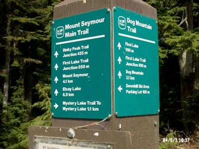
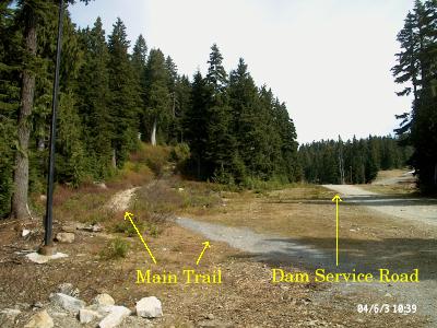
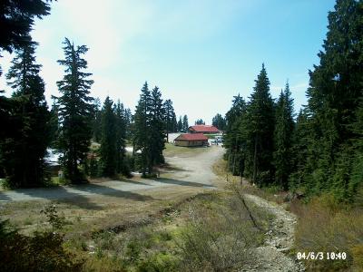
The start of the Main Trail is marked with a post indicating direction and distances of a few trails. The plan was to visit Dinkey Peak and then the Mount Seymour summit, so it looks like one should keep going straight ahead, but should one take the small trail off to the left or continue up the gravel road? We figured it would be the small trail, but took the gravel road to see where it went, and would backtrack if we needed to.
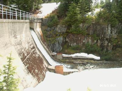
The gravel road leads to the west side of a small dam. One can walk across it but there was too much snow on the east side to carry on, so back to the trail post we go.
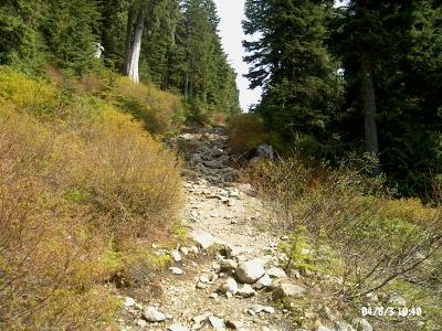
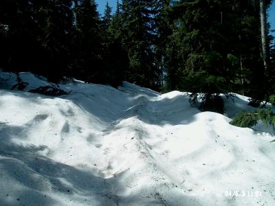
The first part of the main trail was rocky, while patches of snow showed up as we went further. We took a look back, which only showed hints of snow in the background; something that was about to change. Web sites and books suggested that July was the start of the season here; not having been here before we didn't know what to expect despite that warning -- we were shortly confronted with real snow. Oh well, the snow was compact and for the most part it was easy to walk on, so we kept going and took the left turn to Dinkey Peak when we came to the trail fork. The snow looked particulary inviting in places.
The orange trail markers were mostly visible. Only once did we have to make a guess between two sets of tracks from previous hikers. We picked the leftmost one, which turned out to be correct to stay on the trail but the other would have been all right too. The second set probably went directly to the Dinkey Peak viewpoint whereas the first was the route to the Dinkey Peak summit. We ended up walking a "T" shape where one side went to the summit, the other went to the viewpoint, with the leg being the route up and down.
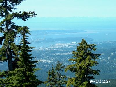
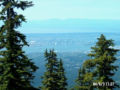
At the viewpoint we had a mostly-clear view of Stanley Park and North Vancouver and downtown Vancouver. The pictures don't do the views any justice -- clarity and colour has been lost. Trees prevented any real view of Vancouver or parts east, and I wasn't in the mood to go walking around to find a clear view.
We also saw a mysterious cabin in the woods on the other side of the valley to the west. It's visible from both the viewpoint and from the summit. Research later suggested that this is the North Shore Rescure cabin. Sorry, no pictures; if you want to see it do some hiking!
Since one of our party didn't have suitable footwear for an extended outing in snow, we decided to abort the trip to the Mt. Seymour summit and returned via the route we had taken, following our footprints back to the parking lot. We looked at the trail map and decided to hike out to Goldie Lake; it looked easy because the map suggested it was close to the same level as the parking lot, about 40-50 metres lower.
The route down was covered in snow. We probably went off the trail a few times, but always found our way back to a marker.
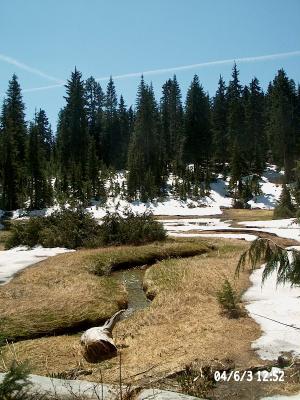
The Goldie Lake Loop trail was mostly snowed under. We hiked it clockwise. There's a prettly little stream (from Mystery Lake?) feeding the lake on the northwest side and an interesting view of the north part of the lake.
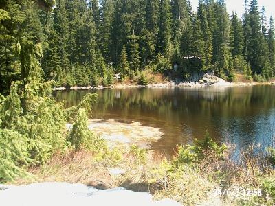
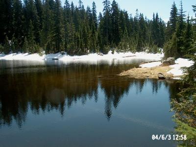
Check out this clear view of the lake with some vegetation visible underneath the water (stare hard at the center). Here's a shot of the south end across the lake where the outflow drains into a creek.
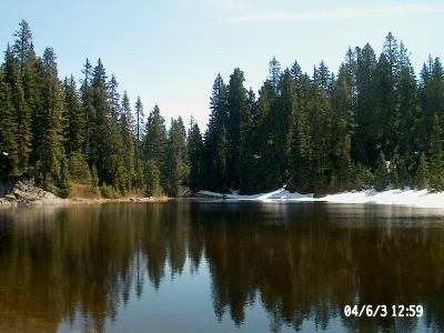
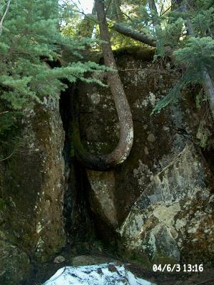
We lost the trail entirely on the south side of the lake after crossing the bridge that crosses over the outflow stream. The trail probably hugs the lake by the big rock wall but we couldn't tell that; we just carefully walked on the snow. We found a cool tree that looked like it couldn't quite decide which way to grow when it was young.
On the SW side of the lake we had problems finding the trail because of the snow. We missed a cross-country ski trail sign that would have put us on the trail back, until we had to stop and then looked behind us -- a quick backtrack and up the mountain via the trail. Finish lunch in the shade and then drive home. A nice way to spend half a day.
There were barely any flies or mosquitoes to speak of today. Walking on the snow was a nice experience because the day was warm and the snow didn't seem to cause any noticeable coolness to the air. It was a bit surreal walking on snow when one could close ones eyes and not know from the temperature that there was snow underfoot!
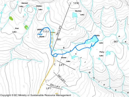
Check out this topographic map of the Mt. Seymour ski area for a record of where the hike took us. Hint: It's the groovy blue line!