| HOME · MOVIES · HIKING · PHOTOS | SITE MAP | ||
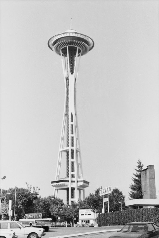
This photo of the Space Needle was taken on a family driving trip to Seattle sometime in 1982, 1983, or 1984.
I didn't make any notes at the time I shot the photo, so until 2008 I didn't know where I had been standing; I had a dim memory of it but I wasn't absolutely certain. By examining aerial photos and using the same techniques that I'd used to identify some movie filming locations, I discovered that I'd taken this picture in a parking lot on 3rd Ave between Broad and Clay Streets. Now I know where to go to shoot a then-and-now photo on a return visit!

As of 2008, aerial photos show that the chimney and roof seen on the right are still there. That sign on the left that might read Sterling's Sooper Save is no longer there and the building seen in the aerial photos doesn't look like what I imagine a "Sooper Save" might be. Between us and the guy pumping gas at Center Mini Mart is Denny Way, which runs left to right but can't be seen in this photo. That Texaco station at the Mini Mart still pumps gas but it's now a Union 76 station (no trademark ball though).
I didn't know this at the time but that area of the tower nearest the ground apparently opened in May 1982. It's called the SkyLine Level and is 30 metres above the base, compared with the 184 metre total height of the tower.
| Copyright © 1996-2010 Toomas Losin | Contact | Disclaimer | ||